Beartooth Run, 2017
Day 6
The Final leg of this Summer's journey! We made it home today after seeing more of South Dakota's stunning scenic beauty: a bit more of the Badlands, SD 47 (one of my favourite "forgotten roads"), crossing the Missouri, and the James River valley.
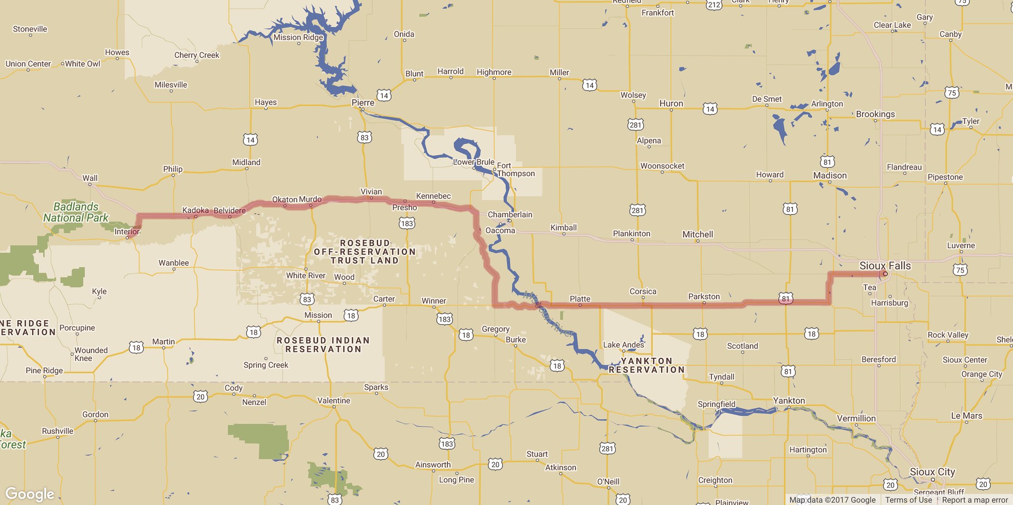
Day Summary
Route Map
Beartooth Run, 2017 Series Links
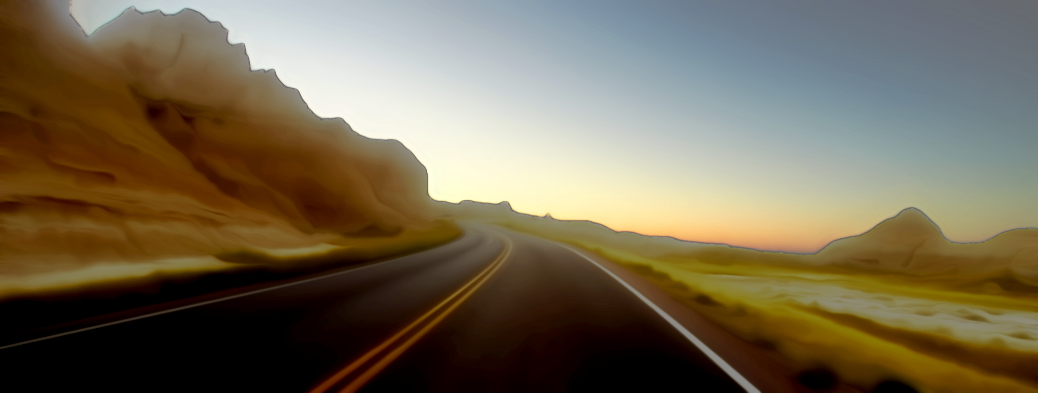
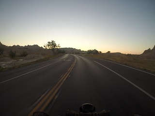
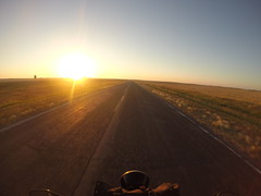
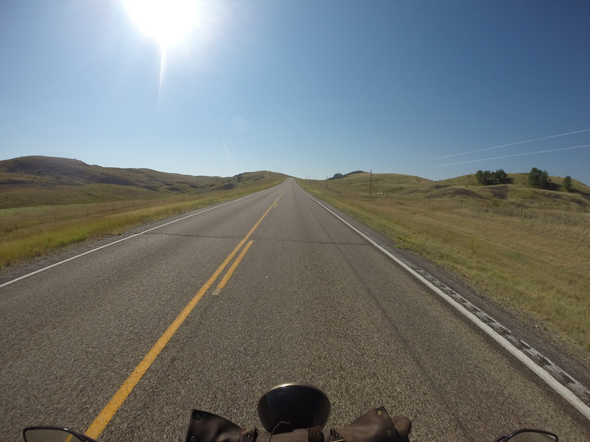
Leaving the Badlands
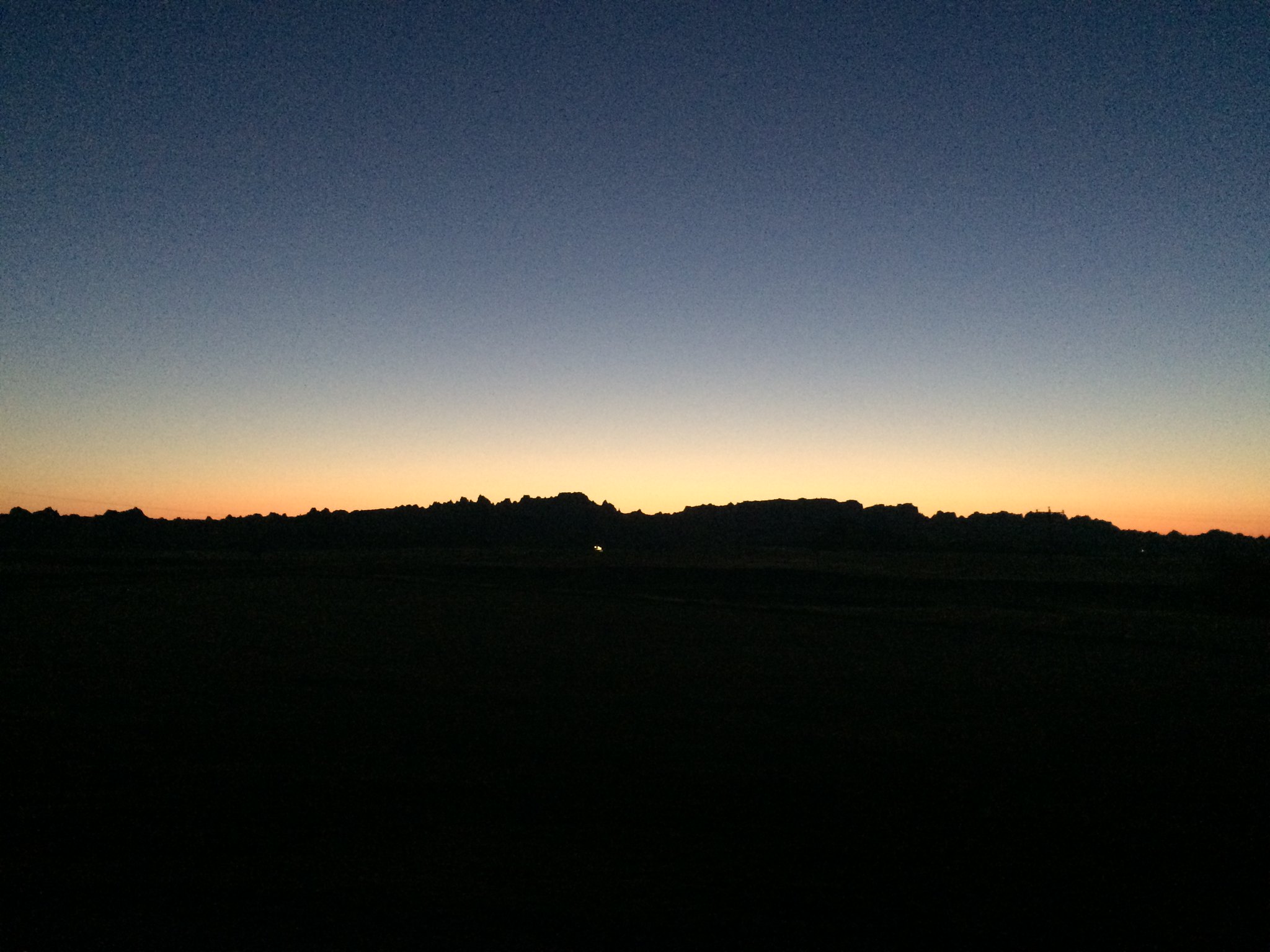
Early morning in the Badlands is breath-taking. Riding next to and through the land formations with the low-light conditions but with simultaneous deep colors was really fantastic. We've driven through here a bunch, but never at dawn – and this was the first time on a motorcycle :-)

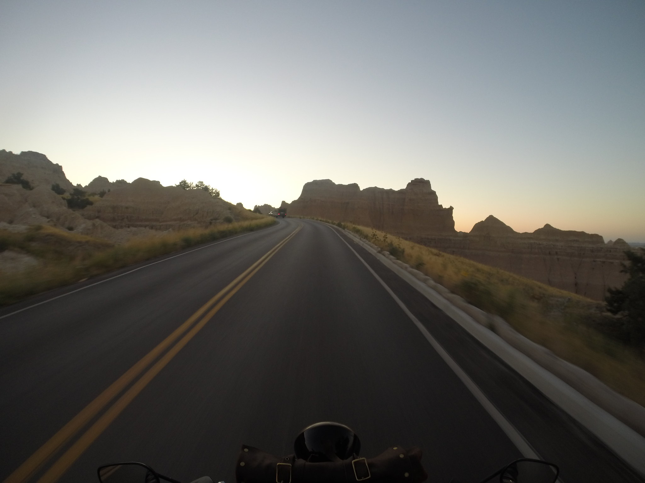

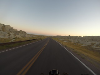
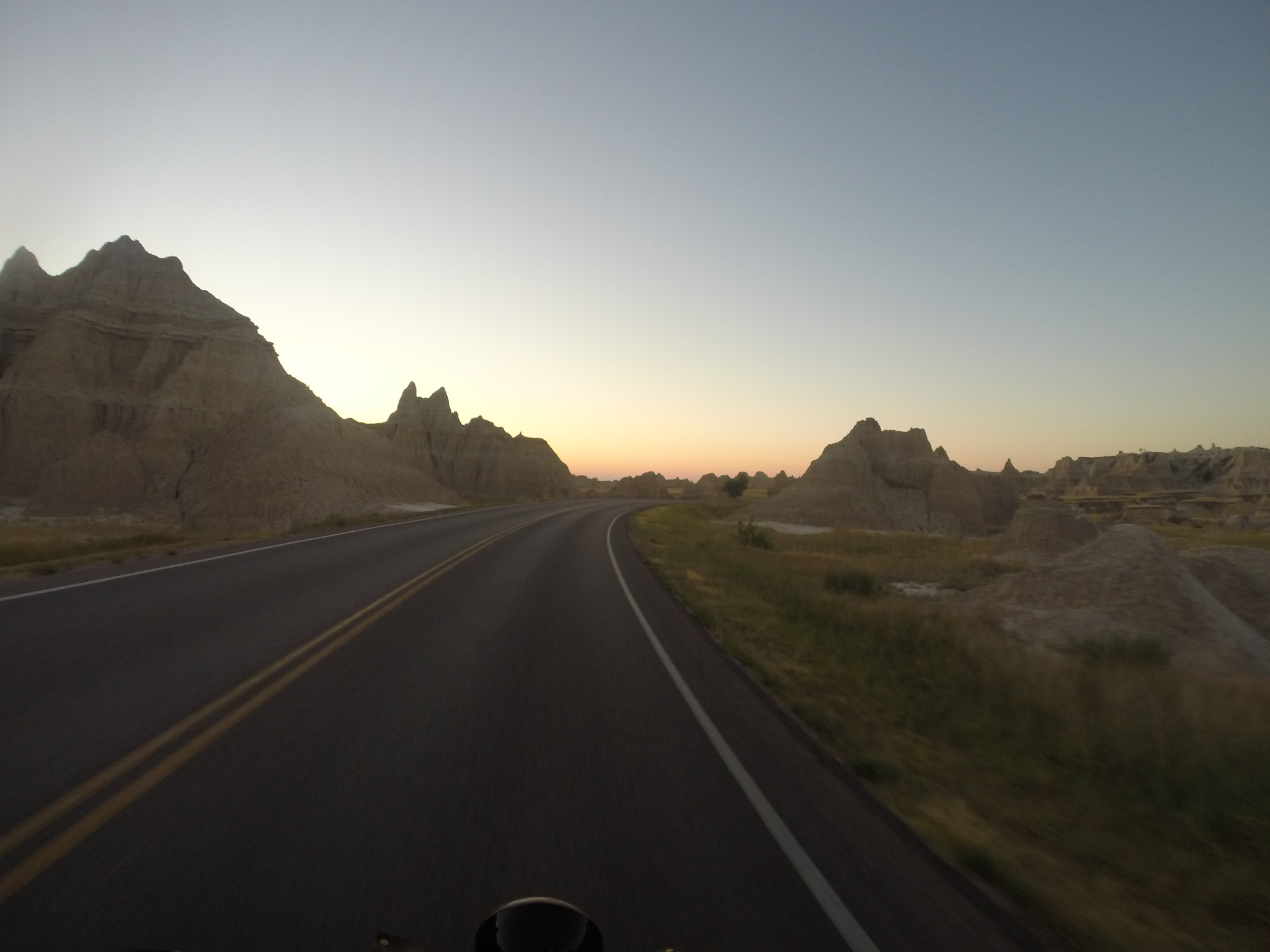
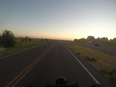
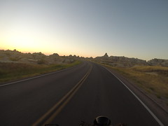
The colors weren't really captured well by the GoPro in the shots above. There was much more contrast, darker shadows, and brilliant oranges, yellows, and reds. The pictures do give a sense of it, though :-)
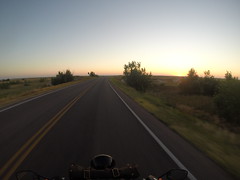
Like highway 20 in Wyoming, after passing through the Badlands, I wanted to turn around and do it again ... and again! But home was calling, and this had been a long trip.
South Dakota Ecoregions
The next part of the journey was a bit boring; now that I'm home, I thought I'd look up what exactly I was riding through and write about that instead of just skipping over that part of the ride ;-)
There are severl levels at which the ecorgions of North America, and the US in particular, have been qualified: levels I, II, III, and IV. At level I, SD falls squarely in the "Great Plains" ecoregion. It gets more interesting, though, when you look at the finer gradations of ecoregion.
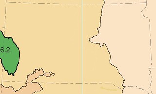
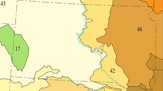
At level II, South Dakota is split into "West-central Semi-arid Prairies" and "Temperate Prairies". At level III, it starts to get interesting. We rode through the following further sub-divided, level III ecoregions today:
- Northwestern Great Plains
- Northwestern Glaciated Plains
- Northern Glaciated Plains
- Western Cornbelt Plains
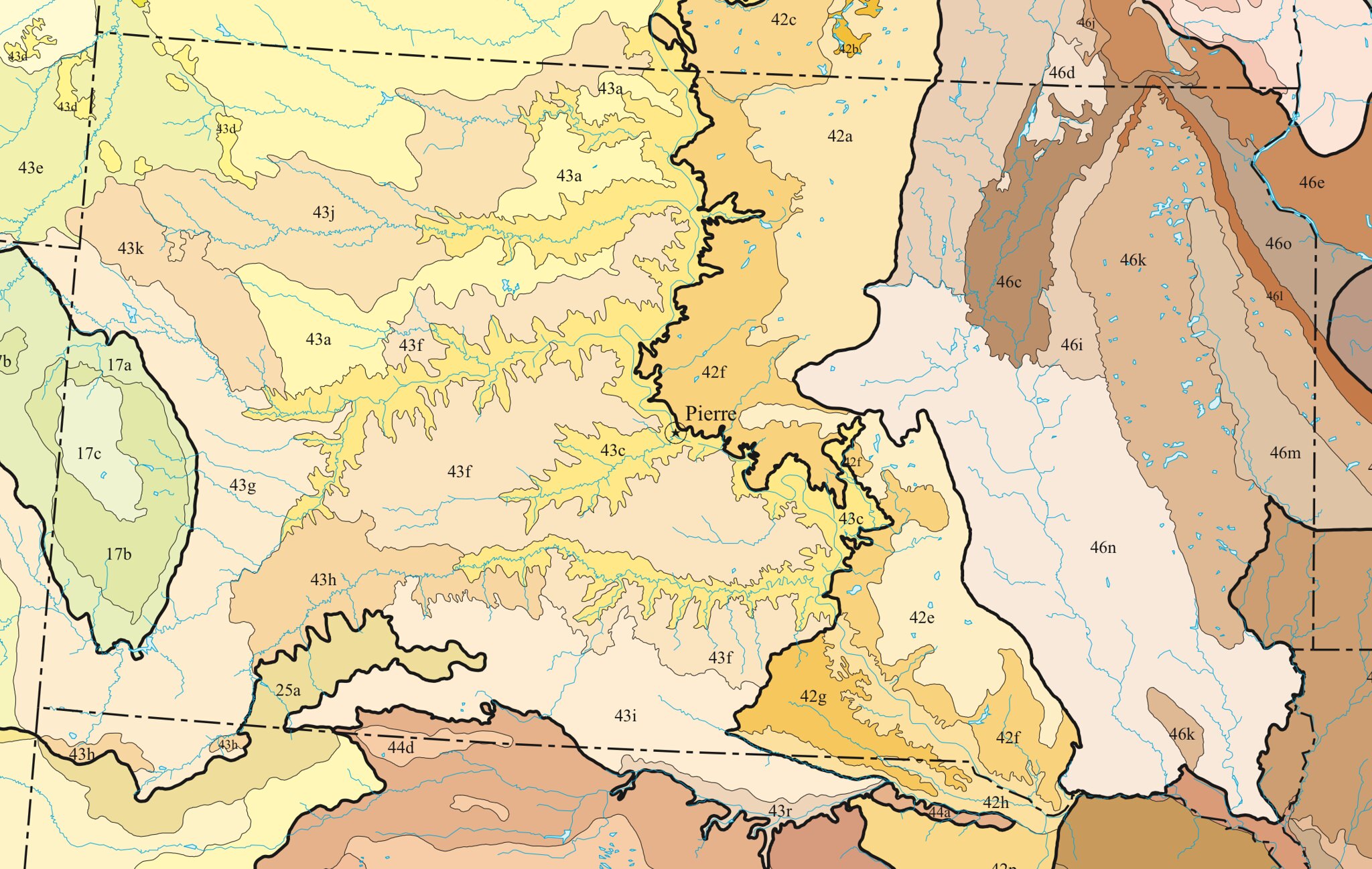
Level IV is too subdivided to describe easily, but this is really the level at which you can observe from the seat of a motorcycle. The route we took to get home intersected the following ecoregions, in order of traversal:
- 43h - White River Badlands
- 43f - Subhumid Pierre Shale Plains
- 43c - River Breaks
- 43f - Subhumid Pierre Shale Plains
- 42g - Ponca Plains
- 42h - Southern River Breaks
- 42f - Southern Missouri Coteau Slope
- 42e - Southern Missouri Coteau
- 46n - James River Lowland
- 47a - Loess Prairies
Wow. Looking at the maps and seeing which roads were good through this area was actually pretty interesting! I'm going to do more of that for next year's rides ...
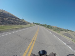
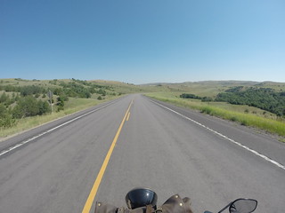
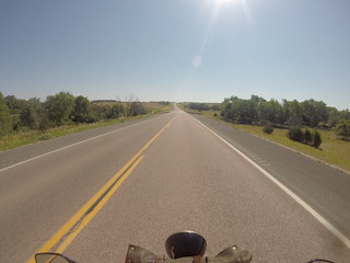
The Shale Plains
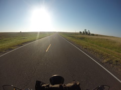
Those are some shots of the "Subhumid Pierre Shale Plains", which we rode through after the Badlands. This was on SD 248 heading East, running along I-90.
Not many curves, though some nice rolling hills scattered here and there. I think there might have been a rodeo or livestock show somewhere in the area, as we passed several horse trailers with folks dressed up in their hats and boots, looking great!
We gassed up around 10:30am in Reliance, SD and then started heading South on SD 47.
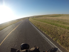
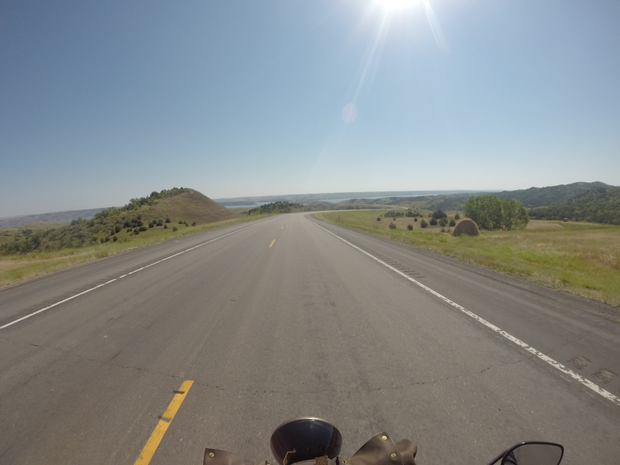
River Breaks & Ponca Plains
I've both ridden and driven SD 47 several times, and it's one of my favourite roads in South Dakota. (Well, to be honest, it's the 32 miles of road on 47 between Reliance and just after Iona.)
This is a "forgotten road" that many folks don't know about. I chatted with a local farmer about it who loved it even more than I do, and was glad to share that with someone who appreciated it. Until today, I didn't stop to think about what made it so beautiful; doubtless it is due to the Missouri River's action on that land (and the source of the ecoregion name of "River Breaks").
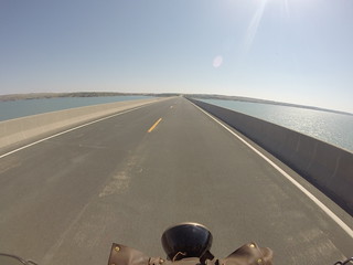
In the panoramic shot below, you can see the Missouri snaking off to the right:
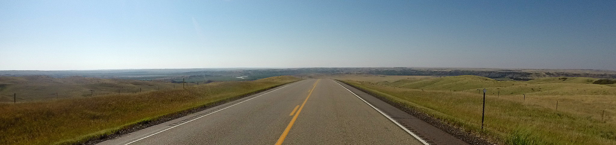
All the other land formations in the distance there are what makes the next 30 or so miles of this ride so great.

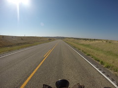

After Iona, things flatten out a bit as you ride through another extension of the Shale Plains. Within a few miles, that gives way to the rolling hills and grasses of the Ponca Plans ecoregion, giving more beautiful views.


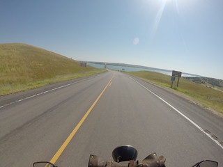
Missouri River
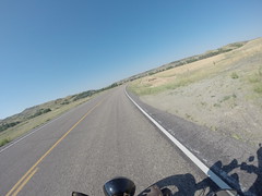
Before settling in to the final straight push into Sioux Falls, there were a few more curves – and thrills – in store ...

Shortly after this next shot was taken, I was going into a curve a little too fast and an on-coming semi was heading up the hill a little too close to the yellow line (and definitely too fast!) It was touch and go for the passing and then a little while longer while I handled the rest of the curves leading to the river crossing ... and waited for my heart rate to return to normal.

The was the point at which it really felt like we'd come home; but there was still another two hours or so to go ...
Arriving Home
Just after Platte, SD I came up behind a group of Harleys on their Sunday ride:
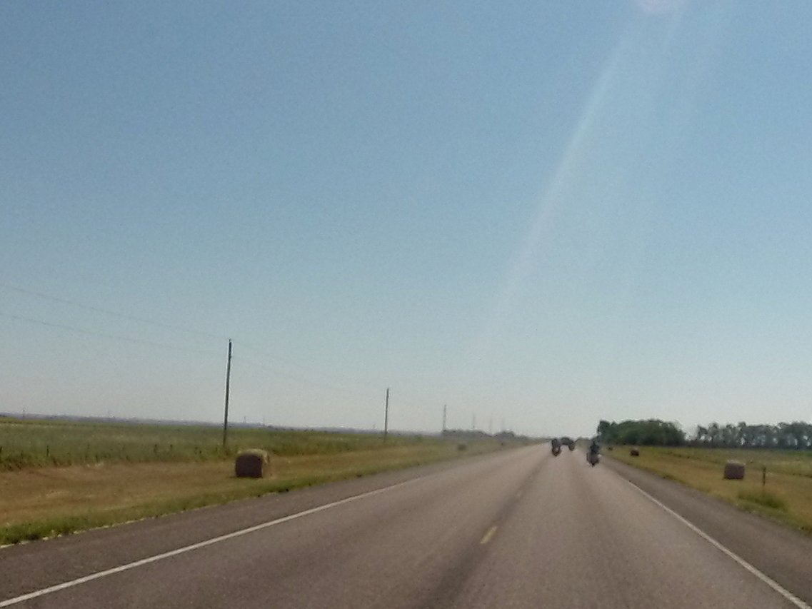
Rode with them for a while, but I didn't want to be up in their business, so I chilled a ways back from their sweep. They ended up taking a left to head North on one of the many forgotten roads out there that are so full of good country riding; we powered onwards, towards home.
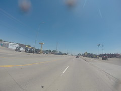
As we got closer and closer to Sioux Falls, I started recognizing the corn fields; this was very relaxing, so I had to really pony up on the concentration and awareness. Sometime between the familiar fields and entering the city limits, I started hearing an old Eagles tune play in my head and it was like the singing of angles; our own private parade ;-) Then we were in our neighborhood ...

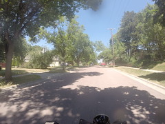
And shortly after that, we pulled into the driveway – ready to let the bike cool off in the lazy shade of the garage:
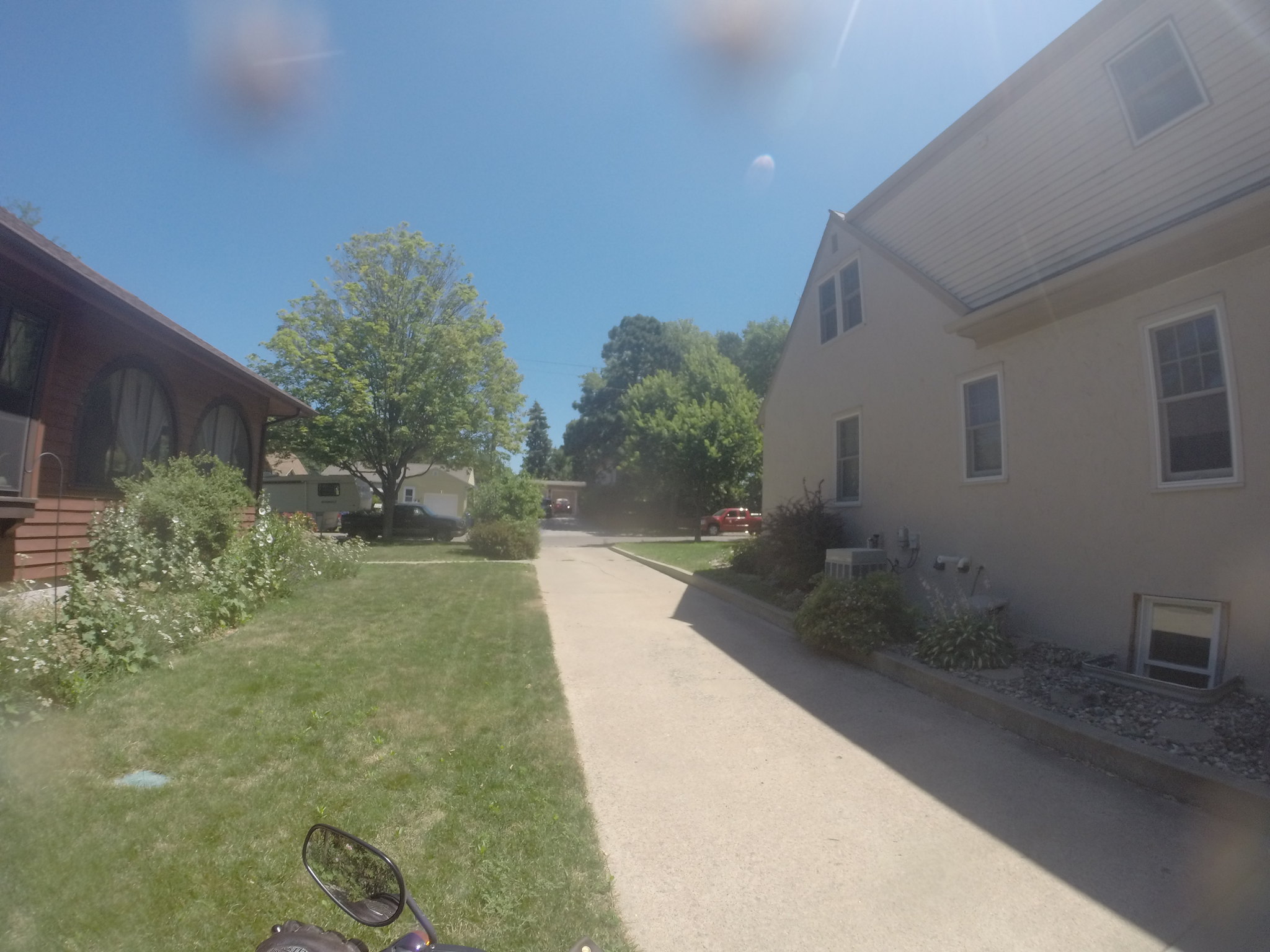
Unpacking could wait for after a shower, some food, and a lot of rest!
🛣